GeoServer Blog
GeoServer Code Sprint 2016 Ready
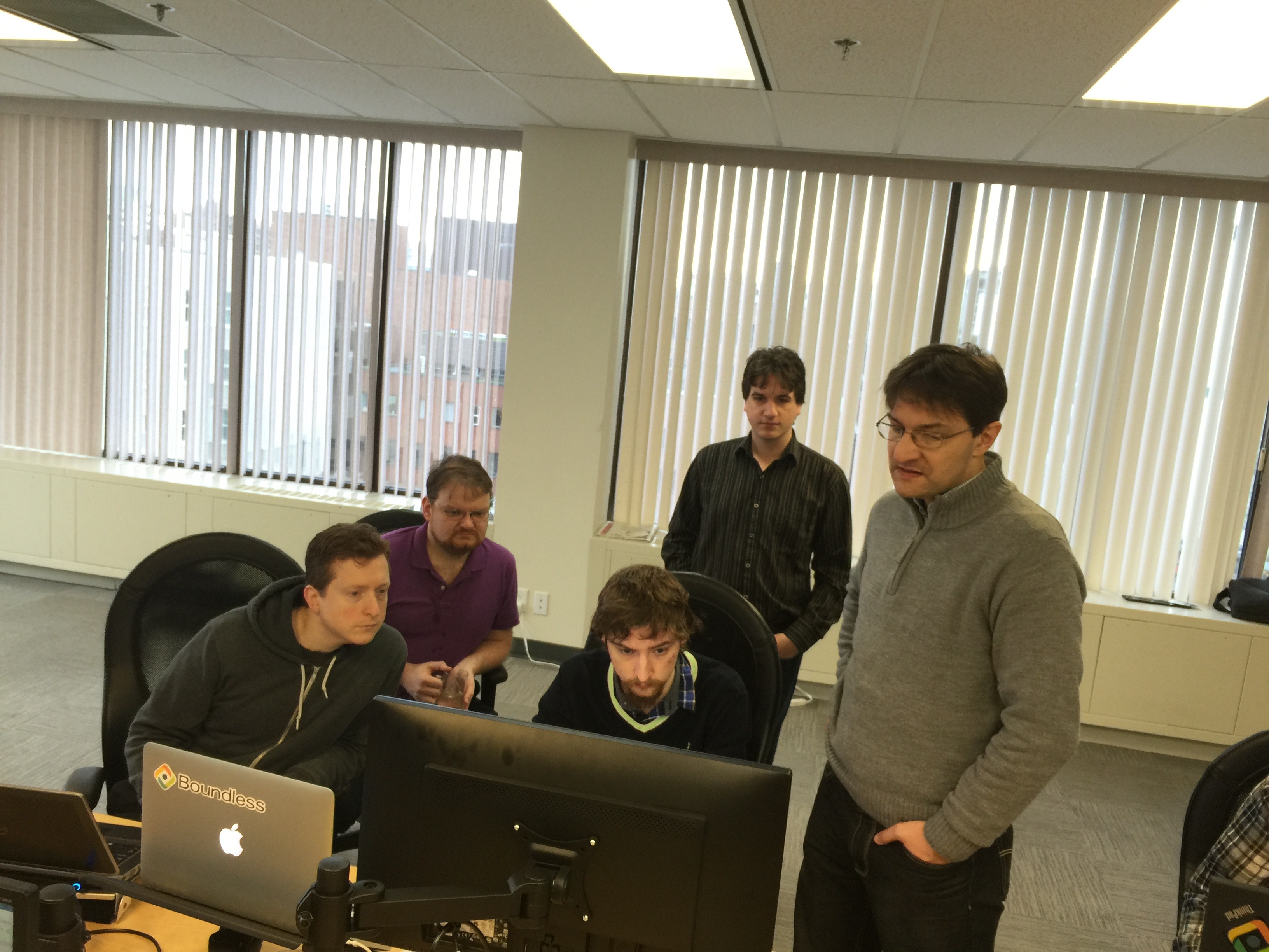
Follow up to our GeoServer Code Sprint 2016 post - we are all ready to go for next week!
-
Monday: Initial migration, Wicket 7 bootcamp / Java 8 bootcamp
-
Tuesday: Migration/testing workspace and datastore configuration
-
Wednesday: Migration/testing global, service and layer configuration
-
Thursday: Migration/testing tile cache, security and demos
-
Friday: demos, extensions and select community modules
Mike Pumphrey will be on hand to update the User Guide reference section and ask awkward questions about how things work. We expect to corner a few new volunteers for the scheduled release of GeoServer 2.8.2.
See the OSGeo wiki page for details, sponsors, participants and schedule. For participants (local and remote) there is a pre-flight wiki page with background reading for the upgrade.
Thank you Sponsors
A big thanks to organizations sponsoring the sprint - you help make this gathering possible. Special thanks to the “In-Kind” sponsors sending staff to participate.
Gold Sponsors:
[](http://www.osgeo.org/) [](http://boundlessgeo.com/) [](http://www.vividsolutions.com/)
Silver Sponsors:
![]()
Bronze Sponsors:


![]()
In-Kind Sponsors:
![]()
![]()
![]()

![]()
Welcome to Victoria
Thanks to Boundless Victoria for making their offices available (see prep below). We look forward to taking over next week and thanks to everyone for their hospitality.


GeoServer Explorer Plugin for QGIS
Victor Olaya has just announced the QGIS GeoServer Explorer plugin which uses the REST API to configure GeoServer. This plugin serves as a QGIS-based tool to configure and manage GeoServer catalogs, acting as a GUI for GeoServer.

The GeoServer Explorer plugin also wraps up some QGIS functionality making it possible to perform operations that go beyond the capabilities of the REST API and easily perform more complex workflows:
-
For instance, uploading a layer in a format not supported by the REST API is done in the same way as uploading a simple shapefile. The plugin will take care of converting its format before uploading, without the user noticing it. Pre-upload hooks can be set up, to process all layers before they are published (for instance, running some topology check or a geometry simplification routine.)
-
Styling can be defined in QGIS using its symbology tools and will be converted to SLD when publishing a layer. This allows a layer to be published with the same style as it has when rendered as part of a QGIS project.
The GeoServer Explorer plugin integrates with other QGIS plugins, like the Processing framework. This allows easy automation of tasks such as publishing a set of layers or seeding a GWC layer, and these tasks can also be integrated in workflows using the QGIS Processing Graphical modeler.

QGIS GeoExplorer Plugin
The GeoServer Explorer plugin is available in the QGIS plugins server, and can now be downloaded from within QGIS using the plugin manager.

For developers the source code is available on github (https://github.com/boundlessgeo/qgis-geoserver-plugin), GPL with details on how to contribute.
We would like to thank Victor for his hard work, the community members who encouraged this release, and Boundless for making this plugin available for wider use. We look forward to seeing continued GeoServer and QGIS community collaboration.
GeoServer 2.7.5 released
The GeoServer team is happy to announce the release of GeoServer 2.7.5. Download bundles are provided (zip, war, dmg and exe) along with documentation and extensions.
GeoServer 2.7.5 is a maintenance release of GeoServer recommended for production deployment. Thanks to everyone taking part, submitting fixes including:
Bug [GEOS-4179] - Importer and monitoring REST resources are not thread-safe [GEOS-7116] - Applying a CRS in Importer clears other found CRSes [GEOS-7306] - Stored Queries don’t work on App-Schema layers backed by database [GEOS-7346] - WPS cancelling output stream ends up writing a single byte at a time
For a full list, see the release notes.
The next release, 2.7.6, will mark the planned end of life for this release series. You and your organisation should now consider looking into to the 2.8 release and start testing it now.
Thanks to Ian Turton (Astun Technology) for this release.
This release is made in conjunction with GeoTools 13.5.
GeoServer Code Sprint 2016
The GeoServer web administration console is built on top of the Wicket 1.4.x series, which is pretty old and unmaintaned. The purpose of the sprint is to update it to Wicket 7.x, the current stable version.

Due to the large distance between the two releases and the number of backwards incompatible changes accumulated by Wicket in the years this will require the concerted effort of a handful of developers over a few days, including the changes to upgrade the code, and the thorough hand testing of the resulting modified interface.
Victoria British Columbia
The code sprint is planned for the week of January 18th **in sunny **Victoria British Columbia. Thanks to Boundless for providing a venue (either the boundless offices or Fort Techtoria depending on numbers).
A note on the timing: We were unable to join the Paris Code Sprint 2016 as it is scheduled too close to the GeoServer 2.9 code freeze. This location was selected to reduce travel costs allowing us to run the event with minimal sponsorship.
Participation and Sponsorship
We have the following sponsorship levels available:
-
Gold: $1000
-
Silver: $500
-
Bronze: $250
We are reaching out to international and local sponsors. Contributions will be put towards travel costs for overseas sprinters who would be otherwise unable to attend. Any surplus at the end of the event will be turned over to OSGeo or used for a future code sprints.
For more details on participation, sponsorship or budget for the event please see the GeoServer Code Sprint 2016 wiki page.
GeoServer 2.8.1 Released
The GeoServer team is pleased to announce the release of GeoServer 2.8.1. Download bundles are provided (bin, war, dmg and exe) along with documentation and extensions.
GeoServer 2.8.1 is the latest stable release of GeoServer and is recommended for production deployment. This release is made in conjunction with GeoTools 14.1. Thanks to all contributors. Fixes and new functionality include:
-
Multidimensional GRIB / NetCDF / NetCDF Output modules promoted to extension
-
Fixed query parameters in SLD external graphic
-
Fixed legend preview with SLD external graphic
-
Fixed multiline labels in PDF WMS request with translation
-
Fixed layer preview GML links for app-schema layers
-
Fixed JMS clustering to use qualified names for layers, layer groups, and styles
-
Avoid catalog linear scans in GWC integration listeners
-
Fixed OpenLayers preview with the authkey module enabled
-
For a full list, see the release notes
Thanks to Ben Caradoc-Davies (Transient) for this release.
About GeoServer 2.8
Articles, blog posts and presentations:
-
State of GeoServer 2015 (FOSS4G)
-
XEE Vunerability (GeoServer)
-
Remote Execution Vulnerability (GeoServer)
-
Z ordering features within and across feature types and layers (User Manual)
-
JAI-Ext, the Open Source replacement for Oracle JAI (GeoSolutions)
-
Customizable arrow in GeoServer (GeoSolutions)
-
PostGIS Curve Support (GeoSolutions)
-
Improved NetCDF/GRIB support in GeoServer (GeoSolutions)
-
Initial GeoServer 2.8.0 release announcement (GeoServer)
Tutorials
- How to style layers using GeoServer and QGIS
- How to Publish a GeoTIFF file in GeoServer
- A Comprehensive Guide to Publishing a Shapefile in GeoServer
- GeoServer About & Status - A Practical Guide
- GeoServer installation methods on Windows
- Introducing GeoSpatial Techno with a Video Tutorial
- GeoServer Presentations on FOSS4G 2019