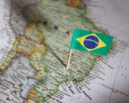
10 years of GeoServer in Brazil
This is a special year because the Geoserver Brazilian Community celebrates 10 years. It all started in 2007 with an GeoServer’ Course at III ENUM (event focused on MapServer) in Brasilia, federal capital, and since then the community has approximately 600 members and more than 5,000 messages exchanged during those 10 years.
During this time, GeoServer has been widely disseminated both in education, government and corporate. There are reports that large banking institutions, telecommunications and information technology companies in addition to governmental sectors such as IBGE (Brazilian Institute of Geography and Statistics), Embrapa (Brazilian Agricultural Research Corporation), IBAMA (Brazilian Institute of Environment and Natural Resources Renewables), among others, has used GeoServer in its various projects.
However, the most notable among his many successes was the establishment of GeoServer as the official map server of INDE (Spatial Data Infrastructure), in 2008 by then President Lula.
We would like to thank everyone who has contributed to the growth of GeoServer in Brazil, whether writing articles, giving lectures or simply encouraging the use of GeoServer within its institutions. A special thanks to Andrea Aime who implemented the projection used by Brazil.