GeoServer the most popular choice for Brazil SDI
Last week the Brazilian government released a list of government agencies that have already implemented their spatial data infrastructure (SDI). This list has 21 agencies, and the interesting thing is that 18 out of 21 use GeoServer in their SDI.
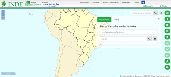 Portal of Brazil’s spatial data infrastructure
Brazil has a 2008 decree, which establishes the creation of spatial data infrastructure by government agencies, and since then, this process of spatial data availability has been growing in the country.
Below, the GeoServer address of some of these agencies:
A spatial data infrastructure (SDI) is a data infrastructure implementing a framework of geographic data, metadata, users and tools that are interactively connected in order to use spatial data in an efficient and flexible way (Wikipedia, 2018).