GeoServer 2.20.1 Released
We are happy to announce GeoServer 2.20.1 release is available with downloads (bin, war, windows), along with docs and extensions.
This is a stable release of the 2.20.x series recommended for production systems. This release was made in conjunction with GeoTools 26.1.
Windows installer
We are pleased to announce the return of the GeoServer windows installer.
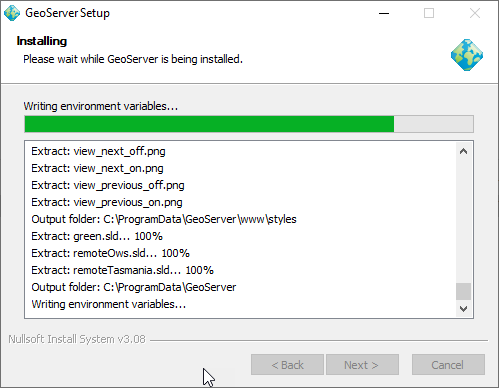
Windows installer in action
Thanks to Sander and the GeoCat team for completing this work on behalf of the GeoServer PSC, everyone on the user list who helped test, and Stefan Overkamp for supplying screen snaps for the documentation.
Reference:
- Windows Installer (User Guide)
Improvements and Fixes
New Feature
- GEOS-10228 Wrap the category text values of a legend
Improvements:
- GEOS-10298 OpenSearch REST management API: allow creation of products via PUT
- GEOS-10265 WFS-T Bulk Transaction optimization
- GEOS-10268 Null Support in Features Templating
Fixes:
- GEOS-10299 Reprojection console can now work with AUTO codes
- GEOS-10292 Fixed issue changing worker pool size in raster access
- GEOS-10289 Improve Shapefile Directory performance when working with a huge number of files
- GEOS-10282 GeoServer translations files incorrectly decoded assuming UTF-8 causing translation files like GeoServerApplication_de.properties leading characters represented as question marks
- GEOS-10281 GeoServer log level was not being picked up with during Catalog reload
- GEOS-10277 Add a special keyword for semi-colon as a CSV Separator in WFS request
- GEOS-10273 GeofenceAccesManager index out of bound issue when requesting nested layerGroups
Community Updates
For developers building from source, our community modules are a great place to collaborate on functionality and improvements.
- GEOS-10301 The ogc-api community module resolved conflicting woodstax parser preventing editing of SLD styles
About GeoServer 2.20
Additional information on GeoServer 2.20 series: